It’s a COLD start to Friday, and by far the coldest day in the forecast as a big warming trend starts this weekend.
Plan Your Friday
It’s a dry cold, but don’t leave home without hats, gloves, and extra layers. The bitterness will begin to ease in the late morning as temperatures stabilize in the upper 20s and low 30s. Increasing cloud cover this afternoon will keep us from getting much warmer than that. Unlike the last few days, little to no snow showers are expected.
What We’re Tracking
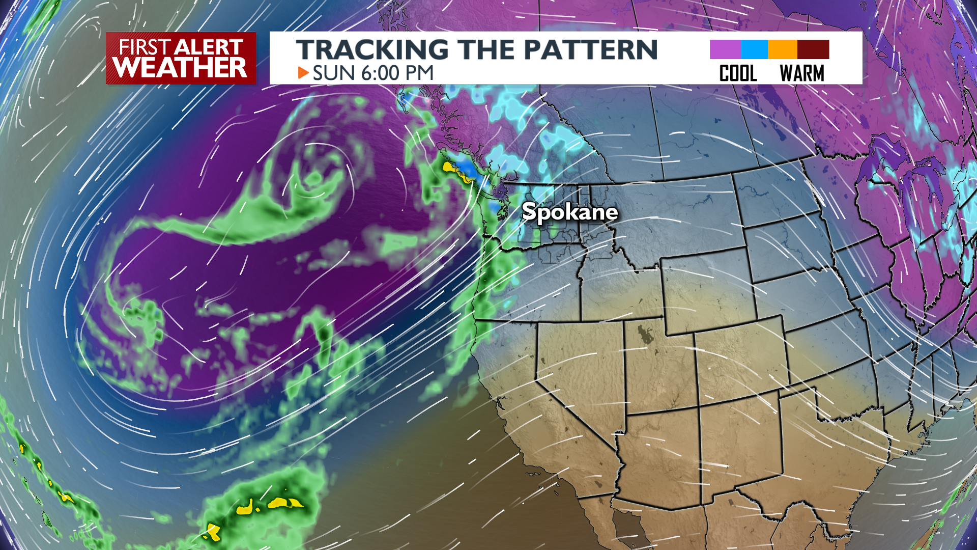
Big changes begin overnight as cloudiness keeps us much warmer with 20s to start off Saturday. By Saturday afternoon, south winds and partly cloudy skies will boost temperatures close to 40 degrees! Rain and snow will fall near the Cascades, but we’ll stay dry in most of the Inland Northwest until Sunday. Sunday will be downright hot compared to what we’ve had over the past week with highs in the upper 40s and even a few low 50s. Valley rain and mountain snow will take over late Sunday and the wet conditions will continue through Tuesday. Look for rising creeks and streams next week as mid-elevation snow from this past week gets washed away with the rain.
Extended Forecast
COPYRIGHT 2026 BY KXLY. ALL RIGHTS RESERVED. THIS MATERIAL MAY NOT BE PUBLISHED, BROADCAST, REWRITTEN OR REDISTRIBUTED.