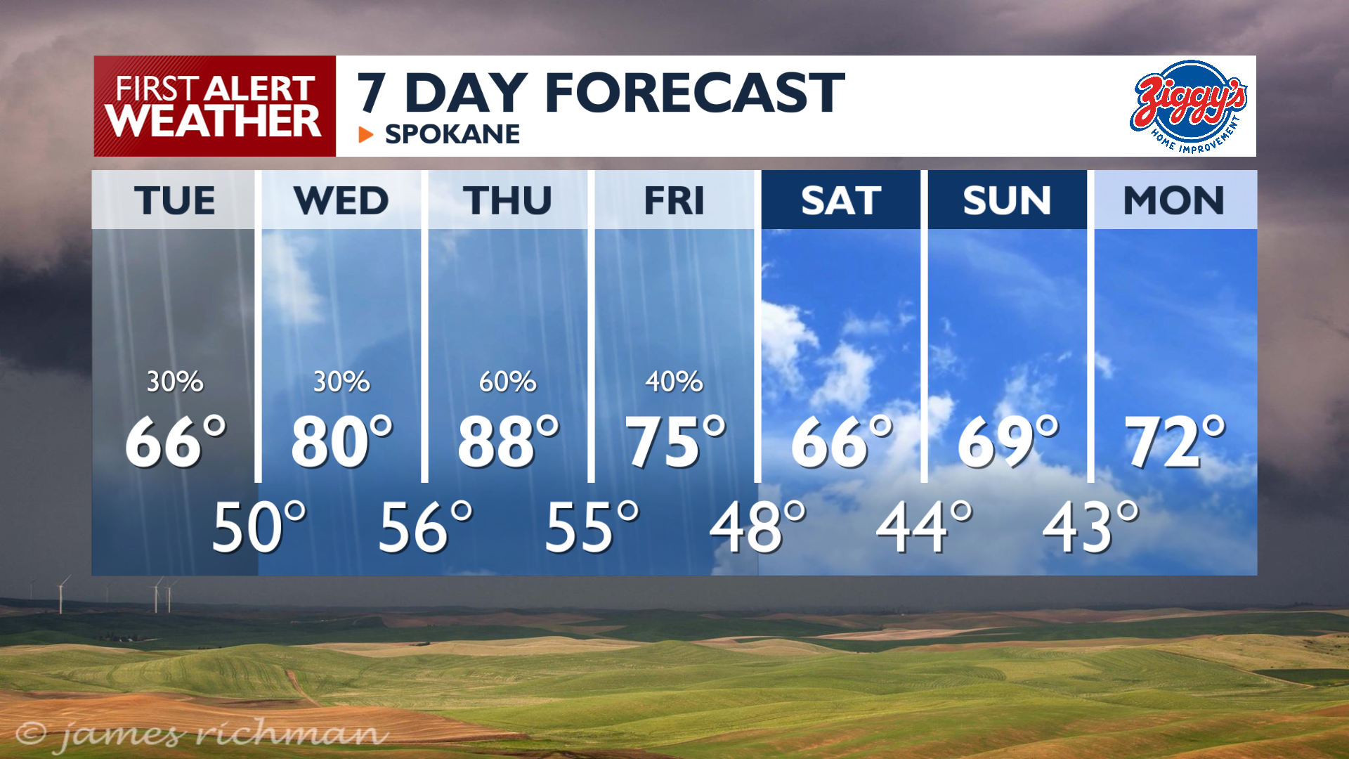
It will be a cooler, cloudier day around the Inland Northwest while chances for rain continue.
Plan Your Tuesday
Highs on Tuesday will only reach the 60s and low 70s with mostly cloudy skies. Expect scattered showers Tuesday morning, followed by evening thunderstorms in the northern Idaho Panhandle and Northeast Washington. Heavy rain is possible with these thunderstorms in areas like Sandpoint and Bonners Ferry through Tuesday night.
What We’re Tracking
Wednesday through Friday brings multiple rounds of afternoon and evening showers and thunderstorms. Temperatures will rise quickly, into the middle and upper 80s by Thursday afternoon which will fuel the storm activity. Some of these storms may become strong, particularly on Thursday, bringing the potential for hail, gusty winds, and flash flooding. Drier, breezy conditions arrive for the weekend.
Extended Forecast
COPYRIGHT 2026 BY KXLY. ALL RIGHTS RESERVED. THIS MATERIAL MAY NOT BE PUBLISHED, BROADCAST, REWRITTEN OR REDISTRIBUTED.