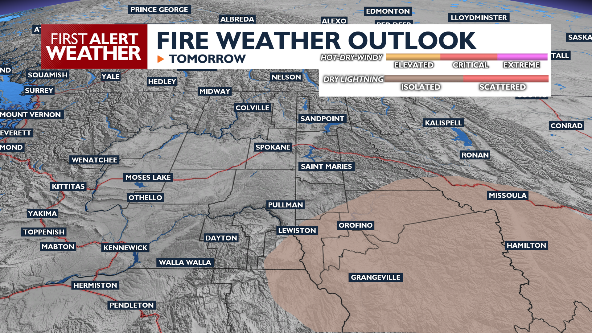
A warming and drying trend begins today, with temperatures climbing into the 90s for midweek.
Monday is the start of a sharp warming and drying trend as high temperatures reach the mid-80s to low 90s. Winds will be light out of the northeast, keeping smoke away from the Spokane area for now. It will be a sunny start to the week.
This newest round of heat peaks Tuesday and Wednesday, with highs returning to the 90s. An isolated thunderstorm or three is possible Tuesday afternoon and evening. The highest odds for thunderstorms will be in the central Idaho Panhandle.
Starting Thursday, winds will begin to increase as temperatures start to cool heading into the weekend. Winds will gust between 20 and 30 mph, increasing fire weather concerns while highs drop back to the 70s by next weekend.
COPYRIGHT 2026 BY KXLY. ALL RIGHTS RESERVED. THIS MATERIAL MAY NOT BE PUBLISHED, BROADCAST, REWRITTEN OR REDISTRIBUTED.